What Is a GPS Simulator?
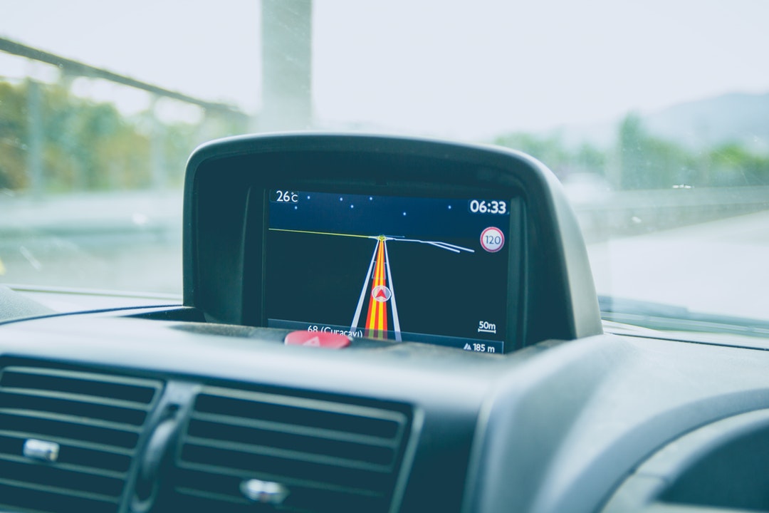
Let’s say you’re driving to your new job for the first time. You’re all dressed up and ready to go make a great first impression…until your GPS leads you down a dead-end road and you end up lost and late.
These things can happen because whoever designed your GPS technology failed to test it first before it hit the market.
But what if you’re trying to market or use this sort of technology? What would be the best way to test it so that you can work out all of the issues?
I’ve got two words for you: GPS simulator.
But what is a GPS simulator, you may ask?
Well, settle in and prepare to find out!
An Overview Of GPS Simulators
A GPS simulator is a piece of either software or hardware that acts like a basic GPS system. However, rather than receiving signals from satellites, the computer mimics the process by itself to create a simulation of how a GPS works.
This also means that GPS simulators are not confined to any one location or scenario.
You want to test your system like it was going through a twisting path underground as the vehicle shakes up and down? Done.
You want to test your system like it was going along the ocean floor in wintertime during a hurricane? Go for it.
In addition to a wide variety of choices, GPS simulators also give you the ability to run specific tests again and again. You can even control details like the time or date if it’s pertinent to your current scenario.
In the real world, factors like weather and signal strength are constantly changing: it’s impossible to run the exact same test twice. In a field where you need exact numbers, this can be troubling.
Luckily, with the help of GPS simulators, you can replicate any conditions you want to run the same test many times.
And The Benefits Keep On Coming
GPS simulators also tend to have higher accuracy than real-world GPS receivers, so you can actually get a better idea of where the peak performance of your personal GPS is at.
It’s also worth noting the obvious advantages GPS simulators have over doing “traditional” lab testing or actually going outside and trying it against the real thing.
Lab testing can only show you peak or worst-case results. GPS simulators have a much wider range of results.
Going outside and testing it limits you to the constraints of the real world, rather than the freedom offered by simulators.
GPS simulators are also cheaper in the long run, as they reduce the amount of money and time needed to properly run real-world tests, which can be costly.
Finally, a critical role of GPS simulators is the ability to test the various operations a GPS uses in its day-to-day function. What are those operations, you ask? Let’s review.
The Operations Of A GPS Simulator
A GPS simulator must run a lot of operations at the same time to be effective, and one of these operations is the acquisition and tracking sensitivity.
These terms refer to the lowest amount of power a signal must carry to correctly convey its information to the system.
Think of it like a blender: you want enough power to get the blender to work, but not so much you’re wasting electricity (and driving up your electric bill).
Another operation is reacquisition time, which refers to how long it takes the GPS to pick up a viable signal after a period of having lost all signal.
Static and dynamic navigation accuracy are also important, as they refer to the constant margin of error and the changing margin of error in navigation, respectively.
This sounds bad, but it’s vital for the testing process. Without knowing your margin of error and adjusting it, you could end up with an inaccurate GPS, and no one wants that.
Another operation GPS simulations can test is radio frequency interference.
With the variety of wireless signals we have bouncing around in the world right now (i.e, Bluetooth), it’s possible that the receiver in a GPS could mix up the correct satellite signals. This could cause either a weaker signal or no signal.
Though you would think these tests would have to happen outside of the simulation with real satellites, the simulations are actually powerful enough to handle this type of testing.
The People That Use GPS Simulators
So now that you know what a GPS simulator does, you’re probably wondering who actually uses this stuff. It’s mostly for everyday people to use — like a map, right?
The truth is a little more complicated. All sorts of organizations use GPS or even GNSS (Global Navigation Satellite System, a blanket term for all navigation systems that utilize satellite data).
As a result, these organizations also all use GPS simulators to test their GNSS devices.
Almost as many organizations will carry or sell technology like the GPS simulator we mentioned earlier.
The military, for example, will often use GPS to navigate any drones or UAV’s (unmanned aerial vehicles) they use in combat. Even manned vehicles can use this technology to improve their efficiency.
Those in the field of aviation also use GPS technology, as it has taken over the use of maps and charting tools for the task of navigating aircraft.
GPS is even used as a tracker of sorts, allowing organizations like wildlife agencies to monitor the location of tagged animals they want to observe.
So Now You Know
You are now the proud owner of knowledge regarding what a GPS simulator is!
Corny jokes aside, if you want to learn more about GPS simulators and the different models that exist, try checking out more blog posts on our site!
And, if nothing else, the next time your GPS claims you’re driving through the Atlantic Ocean when you’re on the freeway, you can hit the other people in your car with this sweet knowledge!
Try not to sound too much like a smartypants, though.
Comments are closed.